-40%
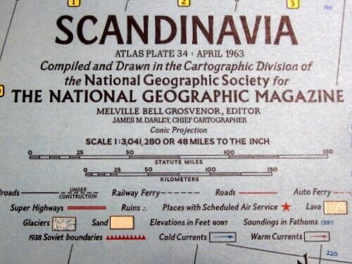
Vitage April 1963 National Geographic Scandinavia Map Magazine Insert EUC
$ 8.44
- Description
- Size Guide
Description
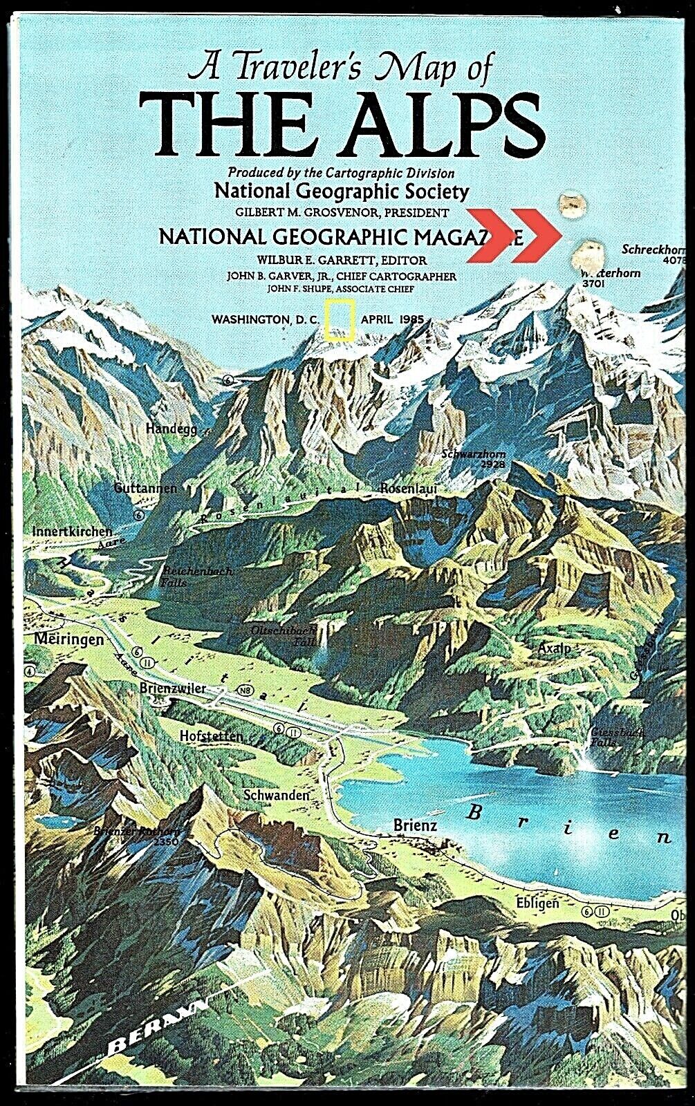
For your consideration is a never used fold-out map of Scandinavia compiled and drawn by the Cartographic Divisio of the National Geographic Society® for The National Geographic Magazine®.The never used map was sized to be a magazine insert, April 1963,nVolume 123, Number 4. Wall map size is 23-1/2" x 30.25. The size of the map in this listing is 24-3/4" x 19-7/8.
The issue featured, "New Map Reflects Progress in Viking Land".
The classic-style map features bright colors and accurate political boundaries. One inch equals 48 miles or a scale of 1:3,041,280. Infastructure features include railroads, ferry, roads, super highways, ruine, lava, sand, glaciers, sourroundings in fathins, 1938 Soviet boundiers, and more. Shaded areas detail the terrain in relief. The reverse side is as photographed, plain.
Each section of the map has been individually photographed.
Free USPS shipping to the lower 48 United States
PayPal only
Neither am I a collector nor expert of items similar to this listing
All questions will be answered
Photos are a portion of the listing
No warranty is either stated or implied
A dog has been in the vicinity of the map
