-40%
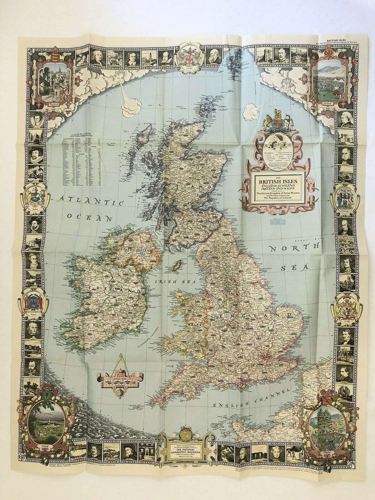
April 1949 National Geographic Vintage Original Map of BRITISH ISLES
$ 4.21
- Description
- Size Guide
Description
April 1949 Vintage Original Map BRITISH ISLES National Geographic1949 British Isles Map
With its elaborate, illustrated border and stylish legend, this map of the British Isles was made for framing. Published in April 1949, it is both a work of art as well as an informative map, containing an abundance of places of interest including cathedrals, ruins, battlefields, and more.
Map is approximately
26.5" x 32.25"
The National Geographic is known for it's fine maps & detailed information. Supplement to the National Geographic Magazine; magazine is not included.
