-40%
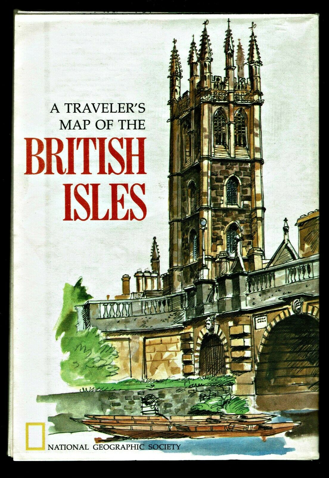
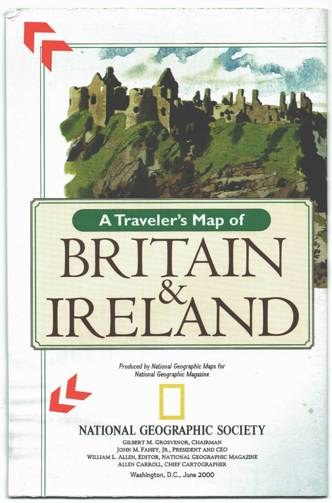
⫸ 1974-4 April BRITISH ISLES Traveler Map BRITAIN IRELAND National Geographic A3
$ 1.97
- Description
- Size Guide
Description
⫸1974-4 April BRITISH ISLES Traveler Map BRITAIN IRELAND National Geographic
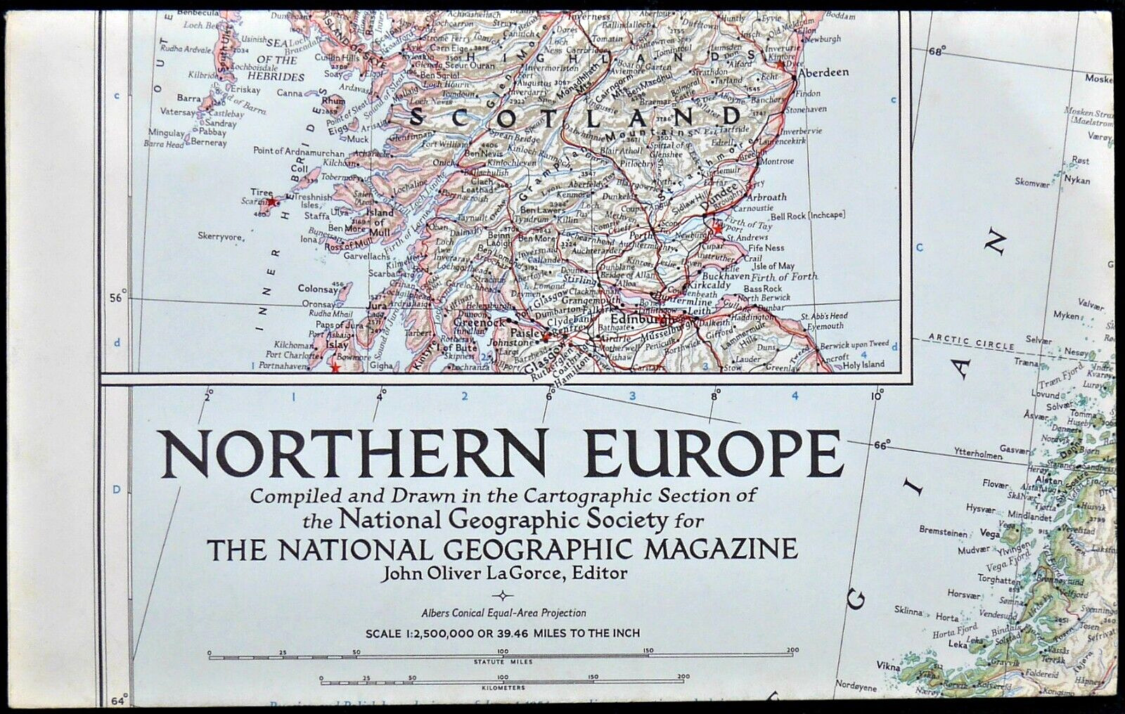
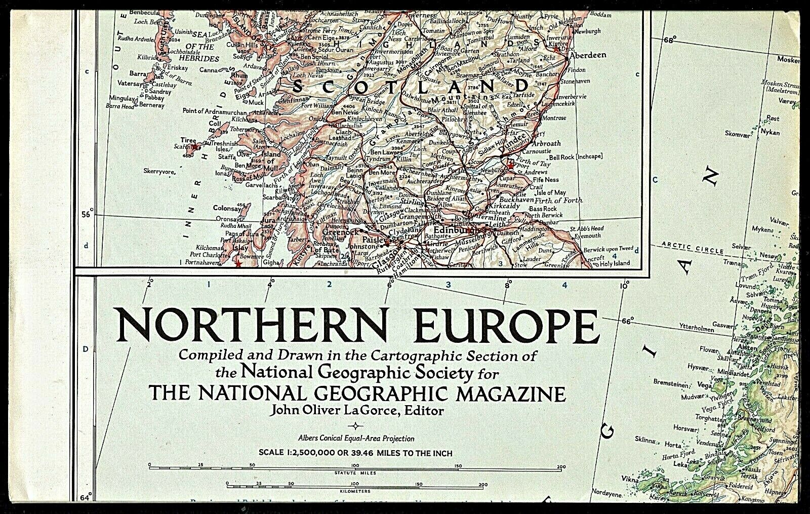
Another in the valuable series of Traveler's Maps, covering the British Isles. The map-side contains a National Geographic political map from the Shetland Islands to the north down to the English Channel to the south. On the map are identified many historic points of interest, as well as map insets of Stratford Upon Avon, Dublin, Edinburgh, and London. Also contained on this side are illustrations of famous landmarks such as the Westminster Bridge, Edinburgh Castle, Fountains Abbey, Stonehenge, and Shakespeare's Birthplace. There is also a listing and short description of the National Parks of England and Wales. The reverse-side contains a detailed description of the various parts of the country and what should be seen by the tourist traveler plus additional hints for the traveler.
Maps in the Traveler's/Visitor's series are:
1970-6 Italy;
1971-6 France;
1974-4 British Isles;
1980-12 Aztec World/Mexico & Central America;
1984-10 Spain & Portugal;
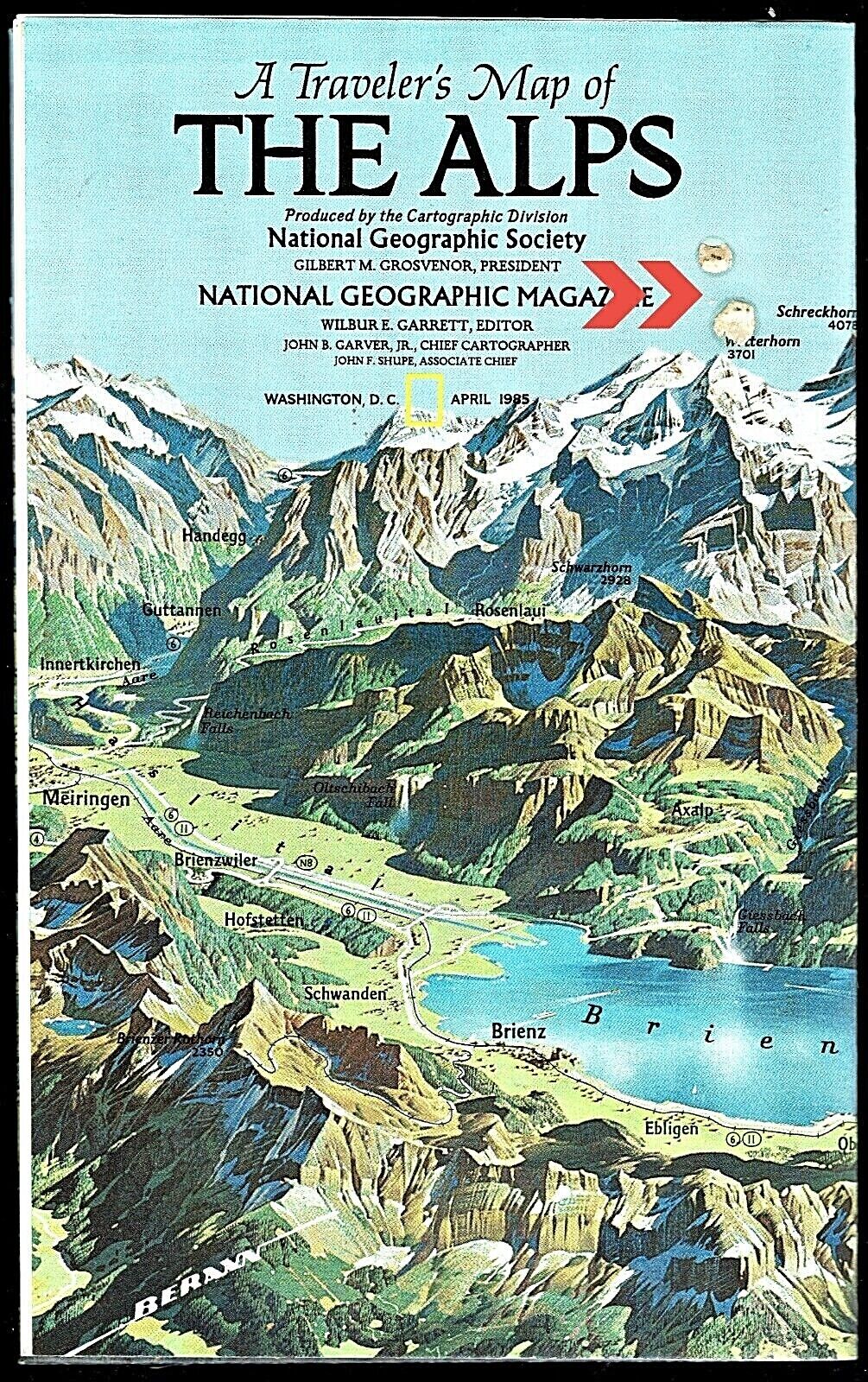
1985-4 Alps;
1988-2 Australia;
1989-10 Land of the Maya;
1991-9 Germany;
1991-Native American Heritage;
1994-9 Mexico;
1998-12 Spain & Portugal;
2000-6 Britain & Ireland;
2003-3 West Indies.
Map is approximately 23” x 32”.
The National Geographic is known for it's fine maps & detailed information.
Supplement to the National Geographic Magazine; magazine is not included.
Always use your cart to obtain any discounts!
U.S. Shipping
- Please select:
1) USPS Mail Service or Media Mail (average delivery time) .50 for the first item and 50
¢ for each additional item.
2) USPS Package Service (faster delivery and with tracking) .00 for the first item and 50¢ for each additional item.
SAVE - MAP SALE - Select ANY 5 Maps - The lowest priced item is
FREE
- See eligible items above (top left).
